
New Bedford ZIP Code Delivery Coverage
The USPS ZIP Lookup is the address-format authority for a New Bedford ZIP code. The codes below describe mailing roles documented in the research, not fixed neighborhood lines or proof that a particular person receives mail there. Delivery boundaries can turn at an address, so the final check belongs to USPS for that complete address and to city GIS for the municipal boundary.
| ZIP | Areas Covered | Post Office | Notes |
|---|---|---|---|
| 02740 | Central and downtown New Bedford, plus much of the city | New Bedford Post Office, 695 Pleasant St. | Standard New Bedford mailing ZIP; confirm the delivery boundary by address. |
| 02741 | New Bedford PO Box service | Exact station assignment not confirmed | PO Box code, not evidence of a street situs. |
| 02742 | New Bedford PO Box service | Exact station assignment not confirmed | PO Box or unique-delivery distinction; do not treat it as a street location. |
| 02744 | Standard New Bedford delivery, including south and east city areas | Station assignment not confirmed | Validate the specific address with USPS. |
| 02745 | New Bedford and some Acushnet-area addresses | Mount Pleasant Station, 748 Mount Pleasant St. | Postal city and municipal boundary can differ. |
| 02746 | Standard north and east New Bedford delivery | Station assignment not confirmed | Validate the specific address with USPS. |
The New Bedford ZIP code directory therefore has six local mailing codes, with two that serve PO Box functions. A PO Box beside a historical or modern street address should be recorded as a mailing detail, not substituted for the parcel’s physical address.
New Bedford ZIP Code Delivery Areas
Four codes, 02740, 02744, 02745, and 02746, are documented as standard New Bedford delivery ZIPs. Their descriptions are useful for starting an address search, but none establishes a hard city-sector boundary. The research specifically identifies 02740 with central and downtown New Bedford and names the post office at 695 Pleasant Street. It identifies 02745 as acceptable for some Acushnet-area addresses and names Mount Pleasant Station at 748 Mount Pleasant Street.
For 02744 and 02746, the available research describes standard delivery roles but does not confirm a station assignment. Keeping that uncertainty visible matters. A street number, unit, street suffix, and city/state combination is more reliable than assuming a station based on a ZIP label alone.
Note: A result should be saved with the date checked, because a delivery-format result can change independently of a deed or assessment record.
New Bedford ZIP Code PO Box Limits
02741 and 02742 are New Bedford PO Box codes. Their presence can explain why a mailing address differs from a location found in a city directory, property card, or deed. It cannot show where a box holder lives, owns property, or receives mail at a street address. The research did not confirm the specific station assignment for either code, so a page should not supply one by inference.
A PO Box is a delivery receptacle. A unique ZIP can be assigned for specialized postal handling, but no particular New Bedford institution was verified as holding a unique ZIP in the collected sources. Treat those labels as postal facts, not person or property facts.
Validating a New Bedford ZIP Code
USPS offers three documented lookup modes. The address mode accepts an optional company, requires street, city, and state, accepts an optional apartment or suite, and makes ZIP optional. The city/state mode requires both city and state. Cities by ZIP requires a ZIP. Each mode leads to a Find action, and USPS expressly warns that the result does not confirm a person or business at the address.
- Address mode
- Use the street, city, and state to verify a complete delivery format, including an apartment or suite when needed.
- City and state mode
- Use this when only the community name and state are known and a postal-code starting point is needed.
- Cities by ZIP mode
- Use the ZIP to see associated city naming, then return to a full address for a delivery check.
The USPS lookup form is the source for these validation modes and their input rules.
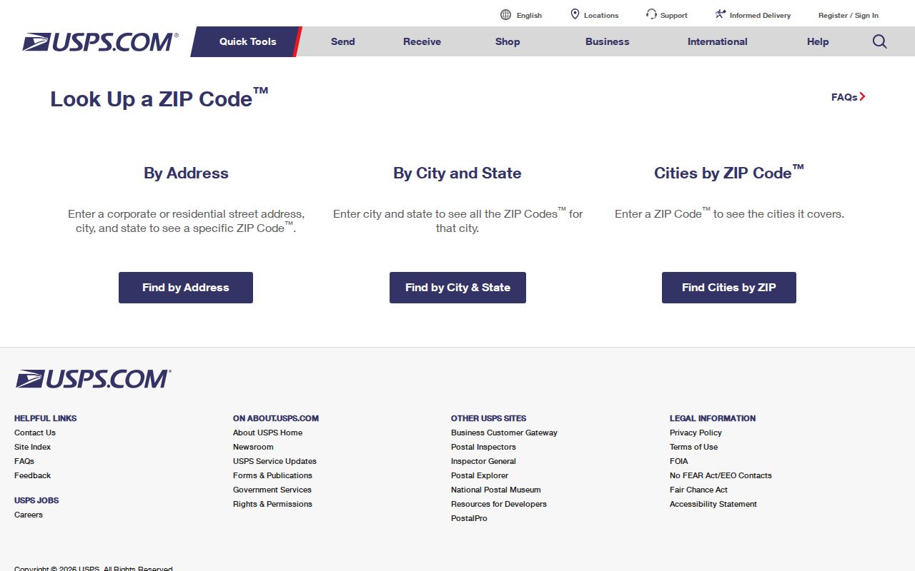
USPS can settle postal formatting. It cannot settle city limits, parcel ownership, legal interest, voter registration, or who is present at a given address.
Finding New Bedford Residents by ZIP Code
A ZIP narrows the starting geography but does not create a ZIP-wide official resident list. Begin by validating the full address in USPS, then identify the physical parcel in the city’s property system. Keep the parcel’s situs address, owner mailing address, and postal address as separate fields because each system serves a different purpose. When the goal becomes street-by-street research, the New Bedford Street Directory has the address and parcel workflow.
- Enter the complete modern address in USPS and record the returned city, state, ZIP, and any ZIP+4 formatting.
- Use New Bedford AxisGIS to search the address, owner name, or parcel ID and confirm the parcel context.
- Check the city boundary in the New Bedford public GIS service when a ZIP may cross into an adjacent town.
- Use the Registry for legal property interest, the voter tool only for an individual status check, and library directories or newspapers for historical evidence.
A ZIP-wide census-like question calls for official municipal, GIS, or census statistics. Do not build it by treating USPS matches as a list of residents.
New Bedford ZIP Code Voter Search Fields
The Massachusetts Secretary of the Commonwealth’s Voter Registration Search uses a residential ZIP as one field in an individual verification. It is not a New Bedford ZIP code directory, street-wide roster, or ZIP-wide result tool. A non-match can reflect a nickname, prior ZIP, recent update, or other input issue, and it should not be treated as proof about a person’s address.
| First name | Individual-search input |
|---|---|
| Last name | Individual-search input |
| DOB | Month/day/year |
| Residential ZIP | ZIP for the individual’s registration address |
| Agreement | Required agreement checkbox before the status lookup |
Massachusetts distinguishes this individual tool from public local voter-list access. The statewide central registry is not generally public under G.L. c.51, §47C, while a local list request has separate election-law and public-record limits.
The Massachusetts occupational license search is another state form that accepts city, state, and ZIP alongside name, board, license type, and license number. It can narrow a credential search, but a license or business affiliation is not proof of a New Bedford residence.
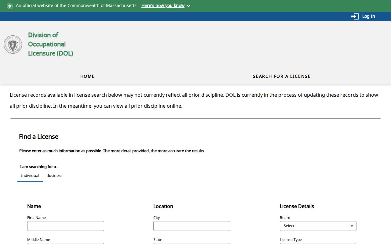
The ZIP field helps distinguish a board-specific credential search from postal or parcel research. It does not create a ZIP-wide residents directory.
New Bedford ZIP Code Parcel Limits
AxisGIS has three confirmed search paths: owner name, street address, and parcel ID. Its quick guide also documents parcel pushpins, layers, an Abutter’s List tool, visual map controls, and a CAI Property Card link. The published guide does not confirm a ZIP filter or a ZIP-wide parcel-results mode. That limit means the system should not be described as a way to list all New Bedford parcels or people by postal code.
The parcel card and map are still useful after USPS validation. They distinguish the physical situs from an owner mailing address and can supply parcel ID, map or lot context, assessment information, sale information, and layers. The Registry then supplies the legal instrument trail, which can use a legal description rather than the modern street address.
New Bedford ZIP Code City-Line Mismatches
ZCTAs are statistical areas, not a list of postal codes belonging exclusively to the city. New Bedford’s Community Health Assessment identifies ZCTAs within or intersecting the municipal boundary as 02717, 02740, 02743, 02744, 02745, 02746, 02747, and 02748. The overlap list must not be converted into a New Bedford postal-code list. In particular, 02743 is associated with Acushnet, and 02747 and 02748 are associated with Dartmouth-area delivery. 02717 also touches or intersects the municipal geography.
No verified New Bedford ZIP split or realignment year was found in the official research. Address-by-address confirmation is the defensible approach along the New Bedford, Acushnet, Dartmouth, and Fairhaven edges. The Southern Bristol Registry covers all five towns, which adds another geographic layer that should not be mistaken for a city boundary.
- ZIP and ZIP+4
- A ZIP identifies a postal delivery area. ZIP+4 narrows delivery sorting for a more specific address or delivery segment.
- PO Box ZIP
- A code used for postal-box service. It does not identify the holder’s street situs.
- Carrier route
- A mail-delivery grouping used operationally by the Postal Service. It is not a municipal boundary or resident roll.
- ZCTA
- A Census statistical approximation of ZIP geography that can cross postal-city and municipal lines.
New Bedford ZIP Code History Before ZIPs
Historical directories predate ZIP codes. For an older New Bedford address, use the street section, ward, old street spelling, cross street, and printed address rather than trying to attach a modern code. The State Library and local library city-directory collections provide street sections, while the Library of Congress catalog identifies New Bedford Sanborn maps for 1888, 1893, and 1906. The 1906 set contains 118 images and can clarify a building footprint or intersection.
The 1852 directory street guide describes bearings from City Hall and numbering that begins at cross streets. That is a valuable period clue, but it does not prove that every modern number follows the same convention. Keep older and modern address forms in parallel until a deed, plan, assessor map, Sanborn sheet, or directory entry bridges them.
New Bedford ZIP Code Record Systems
Postal, municipal, property, civic, and historical systems answer different questions. The comparison is practical: use USPS for delivery format; AxisGIS for parcel context; city GIS for the municipal boundary and map layers; the Registry for a recorded legal interest; the voter tool for one person’s registration status when its required fields are known; and city directories or newspapers for dated historical association.
- USPS: validates mailing format and city or ZIP relationships, but does not confirm a person or business.
- AxisGIS: searches owner, street address, or parcel ID, but has no confirmed ZIP filter.
- City GIS: supplies city-boundary, parcel, polling, and infrastructure geography, but no confirmed public ZIP filter.
- Registry and library sources: provide legal or historical evidence tied to dates, names, streets, and documents rather than a modern postal code.
Keeping those results separate prevents a postal label from becoming an unsupported statement about city residence, ownership, or historical occupancy.